A two-week loop through central and southwest Colorado
The classic long Colorado road trip leaves the Front Range behind and loops through the central mountains and the San Juan Mountains of the southwest, where mountain passes, old mining towns and hot springs come closely spaced. The route below starts and ends in Denver and covers roughly 1,000 miles over two weeks, which leaves time for hikes and rest days rather than driving all day. It is best from late June to early October, when the high passes are reliably clear of snow. Several of the roads involve steep grades, tight curves and long drops without guardrails, so allow extra time and avoid driving them in the dark.
Days 1–4: Denver to Buena Vista and Crested Butte
Head southwest from Denver on US 285 over Kenosha Pass and through the wide grassland of South Park to Buena Vista and Salida in the upper Arkansas River valley. Both towns are bases for rafting, hiking in the Collegiate Peaks and soaking at nearby hot springs such as Mount Princeton. Spend a night or two here to acclimatize before going higher.
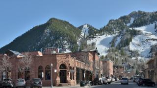
From Buena Vista, Cottonwood Pass, now paved on both sides, climbs above 12,000 feet over the Continental Divide toward Taylor Park and Almont, from where Highway 135 runs north to Crested Butte. The town's painted Victorian storefronts sit at about 8,900 feet, with the ski area at Mount Crested Butte just above. In July, the meadows around town are among the best places in Colorado for wildflowers; the gravel Kebler Pass road west of town is lined with large aspen groves that turn gold in late September.
Days 5–7: Black Canyon and Ouray
From Crested Butte, return to Gunnison and follow US 50 west past Blue Mesa Reservoir to Black Canyon of the Gunnison National Park, east of Montrose. The South Rim Road has a dozen overlooks into a canyon roughly 2,000 feet deep. Continue south on US 550 to Ouray, a small mining town in a steep box canyon that calls itself the Switzerland of America. Ouray has a public hot springs pool, Box Canyon Falls a short walk from town, and many old mining roads that local outfitters drive in four-wheel-drive vehicles.
Days 8–10: The Million Dollar Highway, Silverton and Durango
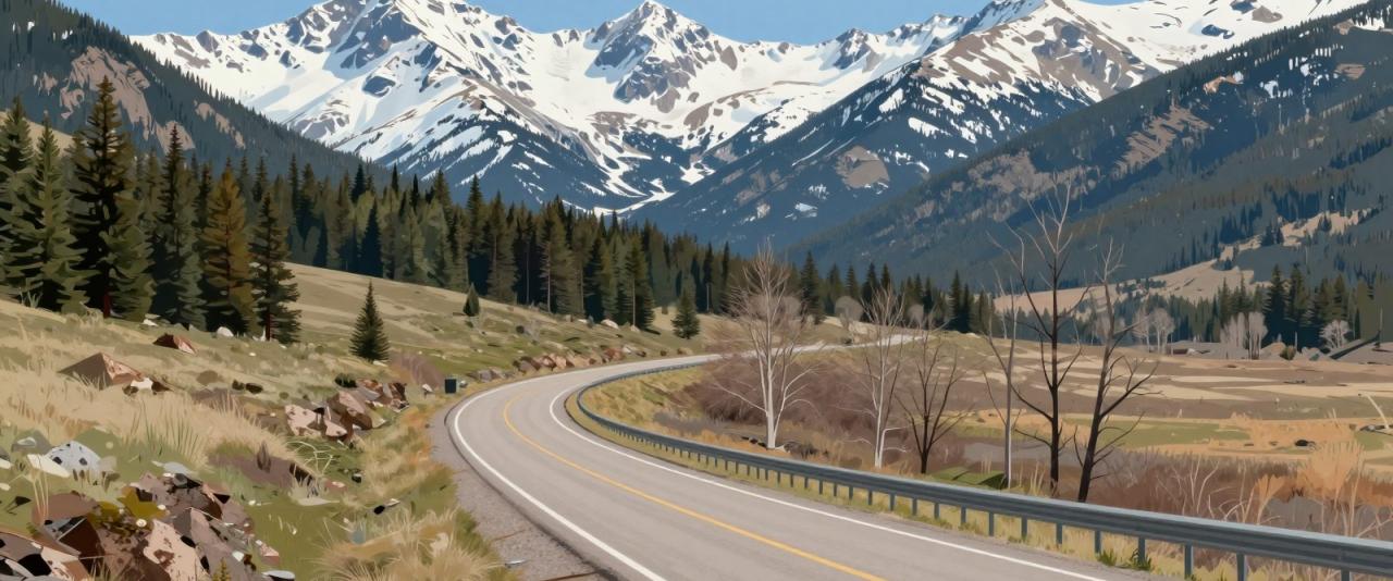
South of Ouray, US 550 becomes the Million Dollar Highway, climbing over Red Mountain Pass at about 11,000 feet on its way to Silverton. It is one of the most dramatic paved roads in the country, cut into cliff faces with sharp switchbacks and very few guardrails. Drive it slowly in daylight, and use the pullouts to let faster traffic pass.
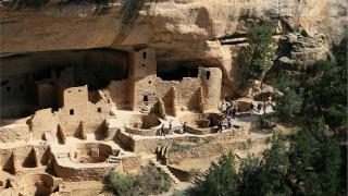
Silverton, at about 9,300 feet, is a former mining town with a single main street and the northern terminus of the Durango & Silverton Narrow Gauge Railroad. Continue over Molas and Coal Bank passes to Durango, a larger town on the Animas River with good restaurants, river trails and rafting. This stretch is part of the San Juan Skyway, a scenic byway that loops through Ouray, Silverton, Durango, Cortez and Telluride. From Durango, a day trip west to Mesa Verde National Park lets you tour Ancestral Puebloan cliff dwellings; book ranger-led tours in advance.
Days 11–12: Pagosa Springs
East of Durango on US 160, Pagosa Springs sits on the San Juan River. Its hot springs are the town's main draw, with commercial soaking pools terraced along the riverbank fed by the Mother Spring, which has been measured as one of the deepest geothermal hot springs in the world. Soak in the evening, then walk the riverside path through town. The San Juan River is also popular for tubing in summer when flows allow.
Days 13–14: Wolf Creek Pass, Great Sand Dunes and back to Denver
From Pagosa Springs, US 160 climbs over Wolf Creek Pass, nearly 10,900 feet, and descends into the San Luis Valley. Turn north to Great Sand Dunes National Park, where the tallest dunes in North America rise against the Sangre de Cristo Mountains. Stay nearby for sunset and sunrise on the sand, then return to Denver via La Veta Pass and Interstate 25, a drive of around four hours.
Practical tips
Fill the tank whenever you can in remote stretches; gaps between gas stations can be long. Summer afternoons often bring thunderstorms that make mountain roads slick, so drive passes in the morning when possible. Book lodging in Ouray, Silverton, Durango and Crested Butte well ahead in July and August. Check the Colorado Department of Transportation's road conditions site before crossing passes, especially in early or late season, when snow is possible above 10,000 feet.