Getting above tree line without a big climb
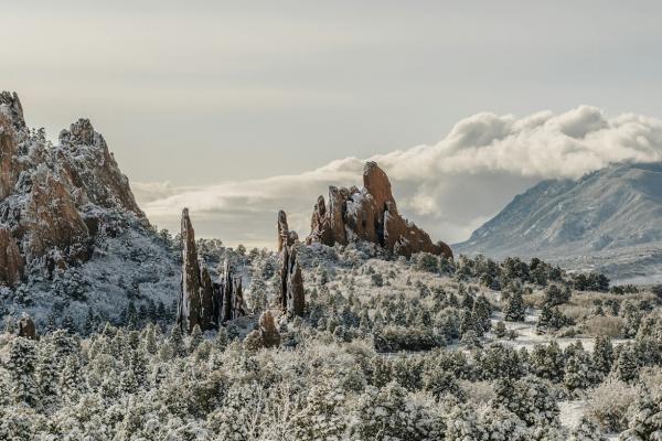
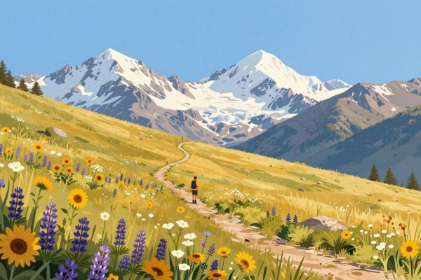
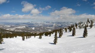
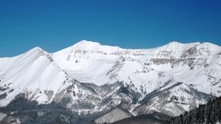
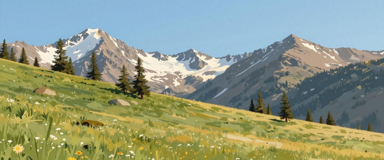
In Colorado, tree line sits at roughly 11,000 to 11,500 feet. Above it is the alpine tundra: wind-scoured meadows, tiny wildflowers, rock fields and views that run for dozens of miles. Most hikers reach it only after hours of climbing, but a few roads and high trailheads put beginners within easy reach. The walks below are short, but they are at serious altitude, so the advice in the second half of this guide matters as much as the trail list. Distances are approximate; check road status and reservation rules before you set out, as several of these areas are seasonal.
Trail Ridge Road, Rocky Mountain National Park
Trail Ridge Road crosses Rocky Mountain National Park and tops out above 12,000 feet. It is usually open from late May to mid-October, and a timed-entry reservation is required for most of the summer season. Two short trails along it are ideal first tastes of the tundra.
Tundra Communities Trail. Starting at the Rock Cut parking area, this paved path of about a mile round trip climbs gently across the tundra to a viewpoint with rock outcrops and wide views of the Never Summer and Front Range peaks. Signs explain how alpine plants survive wind, cold and a short growing season. Stay on the pavement here; tundra plants can take decades to recover from trampling.
Alpine Ridge Trail. Behind the Alpine Visitor Center, a steep stairway of about a third of a mile each way climbs to a viewpoint at just over 12,000 feet. It is short, but the steps are hard work at this elevation, and it is a good test of how your body is handling altitude.
Mount Blue Sky and Echo Lake
Mount Blue Sky, formerly called Mount Evans, rises west of Denver above Idaho Springs. The scenic byway toward its summit is one of the highest paved roads in North America and requires a timed reservation in season; the upper road has had closures for repairs in some years, so confirm what is open before you go. At the start of the byway, Echo Lake sits at about 10,600 feet, with an easy walk of around a mile around the shore. When the upper road is open, a short trail from the top parking area leads to the 14,264-foot summit. It is only a few hundred yards, but walking at that elevation is a real effort for anyone who has not acclimatized.
Brainard Lake and Mayflower Gulch
Mitchell Lake, Brainard Lake Recreation Area. West of Ward in the Indian Peaks, the trail from the Mitchell Lake trailhead climbs gently through forest for about a mile to Mitchell Lake at roughly 10,700 feet, with the peaks of the Continental Divide behind it. The area requires a timed-entry reservation in summer and fills early.
Mayflower Gulch, near Copper Mountain. Off Highway 91 south of Copper Mountain, an old mining road climbs steadily for about a mile and a half to the remains of the Boston Mine camp, where cabin ruins sit in a high basin ringed by peaks. It is longer and steeper than the other walks here, but the road surface is easy to follow.
Altitude, storms and sun
Slow down. Above tree line there is noticeably less oxygen. Walk at a pace where you can talk, rest briefly and often, and drink water regularly. If you develop a headache, nausea or dizziness, stop and descend; altitude sickness improves quickly once you go lower.
Layer for sudden storms. Summer afternoon thunderstorms are a daily pattern in July and August. Above tree line you are the tallest thing around, so plan to be off exposed ground by early afternoon, and turn back as soon as you see building clouds or hear thunder. Carry a waterproof jacket, a warm layer, a hat and light gloves even when the morning is warm.
Protect against the sun. UV exposure at 12,000 feet is far stronger than at sea level, and there is no shade on the tundra. Wear sunscreen, sunglasses and a hat, and reapply sunscreen during the day.
Leave No Trace on the tundra
Alpine plants grow slowly in a short summer season, and a single footstep off the trail can crush growth that took years. Stay on paved paths or established trails, walk single file on narrow tread, and do not build rock cairns or move stones. Pack out everything you bring, including food scraps, and give wildlife such as elk, marmots and bighorn sheep plenty of space. Do not feed animals, however tame they seem.