Rio Grande National Forest
- Where
- San Luis, San Luis Valley
- Directions
- Directions
Rio Grande National Forest covers roughly 1.8 million acres in south-central and southwestern Colorado, wrapping around the western and northern sides of the San Luis Valley and reaching high into the San Juan Mountains. The forest takes its name from the Rio Grande, which rises in the San Juans inside the forest boundary and flows down toward the valley before heading south. It is a big, quiet piece of public land, with a lower profile than the national parks nearby.
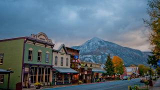
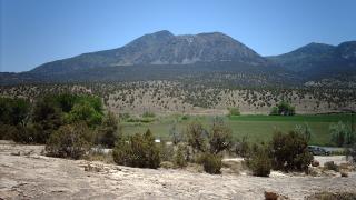
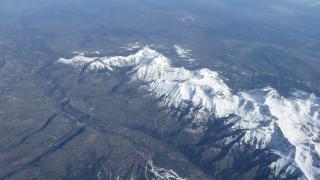
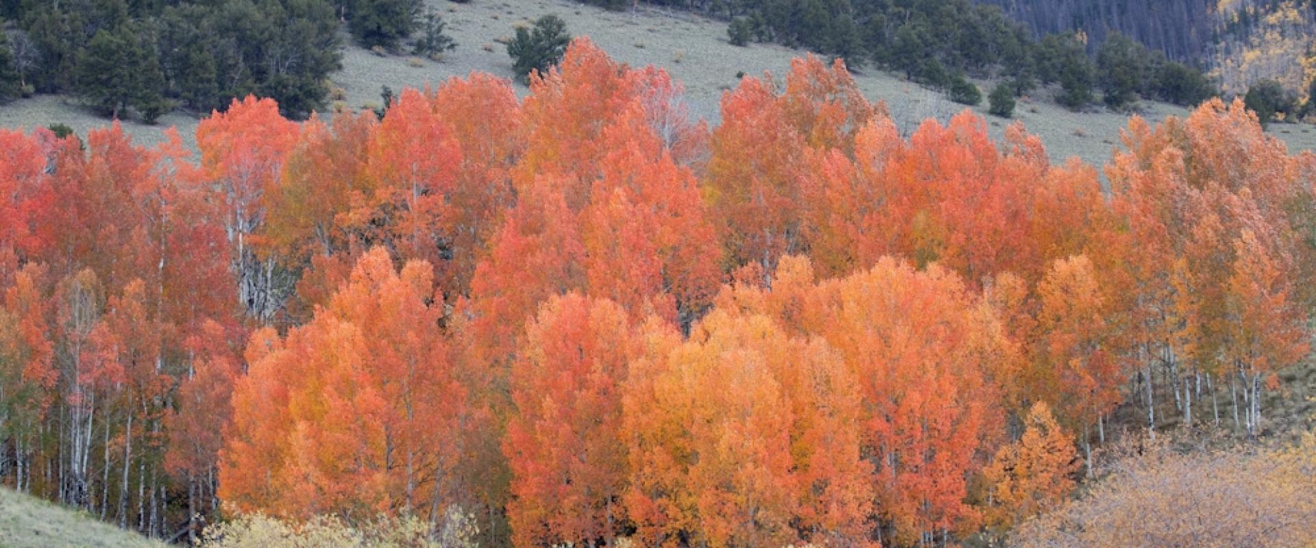
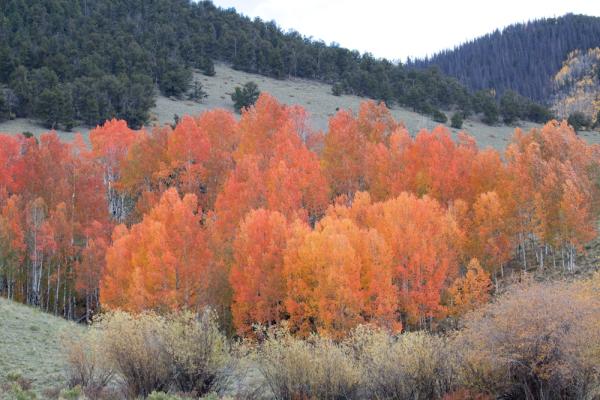
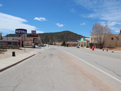
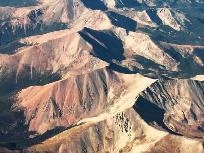
The terrain runs from the flat floor of the valley to jagged alpine country above 13,000 feet. Spruce and fir forests, aspen groves, wide meadows and alpine tundra cover the slopes. It also takes in part of the Sangre de Cristo Range on the eastern side of the valley. The forest includes the La Garita Wilderness and part of the Weminuche Wilderness, along with other roadless areas that reward long backcountry trips. The old mining town of Creede, in the forest's northwest, grew out of a silver boom, and Spanish explorers and early settlers crossed this country, and historic mining camps and roads in the high country give a glimpse of that era. Wolf Creek Pass, on U.S. Highway 160, crosses the forest and receives some of the heaviest snowfall in Colorado.
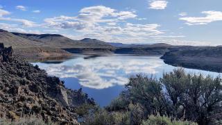
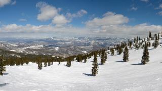
Wildlife is plentiful. Elk and mule deer are common, black bears live in the forested drainages, bighorn sheep use the rocky ledges, and moose have become established in some areas. Trout fishing along the Rio Grande and its tributaries draws anglers through the warm months, while alpine lakes attract hikers and campers. Winter shifts the focus to snowshoeing, cross-country skiing, snowmobiling and downhill skiing at Wolf Creek.
Visitors should plan for the altitude, since much of the forest sits well above 9,000 feet, and for sudden weather. Afternoon thunderstorms are common in summer, and snow can fall in any month at higher elevations. Roads vary from paved highways to rough forest tracks that need high clearance, and cell service is limited. Stopping at a ranger district office for current maps and road conditions is wise.
The forest suits backpackers, anglers, wildlife watchers, hunters in season and drivers on scenic byways who want mountain country without crowds. It also makes a natural complement to the historic and cultural stops around San Luis and Alamosa, such as the Culebra Range and San Luis Plaza.
Categories
More photos coming soon
Questions people ask
Quick Facts
Best Time to Visit
Mid-May to September offers the best weather, with warm, sunny days and low humidity.