
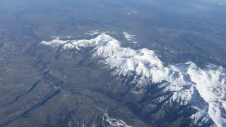
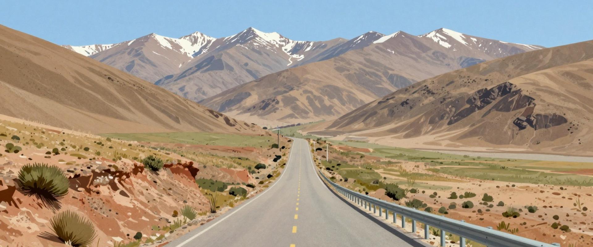
Cyclists face unique challenges in Colorado’s high-altitude environment. The thin air reduces oxygen, affecting physical performance immediately. Acclimatization is essential for safe riding. Riders should plan rest days to adjust. Summer afternoons bring rapid weather changes. Sudden storms can occur without warning. Cyclists must monitor sky conditions closely. Proper hydration is critical due to dry air. Dehydration risks increase significantly at elevation. Routes like Rim Rock Drive gain over 3,000 feet. The Colorado National Monument loop offers 3,525 feet of gain. These climbs demand careful pacing and preparation. Peak season runs from June to July. This period offers the most stable weather. Riders should carry extra water and layers. Safety depends on respecting the mountain climate. Always check forecasts before starting any ride.
Colorado law treats cyclists as vehicle operators on public roads. You must obey all standard traffic signals and signs. Riding against traffic is illegal and significantly increases accident risk. Always ride with the flow of vehicles. Use hand signals to indicate turns or stops clearly. This communication is vital for safety in dense areas. Reflective gear and lights are recommended for visibility. Colorado’s vast network includes 18,657 tracked routes. These span from Denver city paths to mountain trails. Riders should prioritize visibility on busy highways. High-altitude passes like Rim Rock Drive require extra caution. The 26.3-mile route demands awareness of steep grades. Always wear helmets and use bright clothing. Safety depends on predictable behavior and clear signaling. Adhering to these rules protects you and others.
Popular Route Highlights
Denver provides accessible paved options like the Cherry Creek Trail. This urban path suits casual riders seeking flat terrain. Front Range routes offer moderate challenges for intermediate cyclists. The Golden to Golden Gate loop is a popular choice. High-altitude routes near Breckenridge demand advanced fitness levels. Riders must acclimatize to thin air before attempting these climbs. Rim Rock Drive presents a steep 26.3-mile challenge. It features significant elevation gain between 3,050 and 4,450 feet. The Colorado National Monument loop covers 32.8 miles. Cyclists navigate red rock canyons with 3,525 feet of ascent. Peak riding season occurs in June and July. Colorado maintains a vast network of 18,657 cycle routes. Total tracked distance exceeds 731,000 kilometers. These options range from city bike paths to mountain trails. Riders can filter routes by difficulty and distance. Easy routes stay under two hours with minimal gain. Hard routes exceed five hours with steep climbs.
Essential Gear and Preparation
Colorado’s high altitude demands specific safety preparations. Peak season runs June through July. Riders must acclimatize to thin air before tackling steep climbs. A properly fitted helmet is essential for safety on rugged trails. Carry a basic repair kit, including a spare tube and pump. Sun protection is critical due to high UV exposure at altitude. Wear polarized sunglasses and apply broad-spectrum sunscreen regularly. Carry sufficient water and snacks for remote conditions. Hydration needs increase significantly above 8,000 feet. Plan routes using apps like Bikemap or Komoot. These platforms track over 731,000 km of Colorado routes. Filter routes by difficulty to match your fitness level. Rim Rock Drive offers 3,050 feet of elevation gain. The Colorado National Monument loop provides 3,525 feet of gain. Prepare for rapid weather changes in mountain passes. Always inform someone of your planned route and expected return time.
Practical Tips for Safe Riding
Ride in the same direction as traffic. Follow all standard traffic laws strictly. Use bright clothing to increase visibility. Equip bikes with lights for low-light conditions. Be alert for road hazards like gravel. Communicate clearly with other road users. Signal turns and stops early. Be prepared for changing weather conditions. High-altitude sun requires extra protection. Respect other road users on shared paths. The 18,650 routes vary in difficulty. Choose routes matching your skill level. Elevation gains can be steep. Acclimatize to thin air before riding. Rest frequently during high-altitude climbs. Hydrate regularly to prevent fatigue. Wear a properly fitted helmet always. Check tire pressure before every ride. Carry repair tools for flat tires. Stay visible to drivers on roads. Avoid distractions while cycling. Stay aware of wildlife in rural areas. Respect private property boundaries. Follow all local traffic regulations. Ride at a safe, controlled speed. Be prepared for sudden weather changes. Always carry identification and contact info. Stay hydrated in high-altitude environments. Wear bright, reflective clothing. Use lights in low visibility. Stay alert for road hazards. Communicate clearly with other users. Respect all road users. Stay safe on every ride.